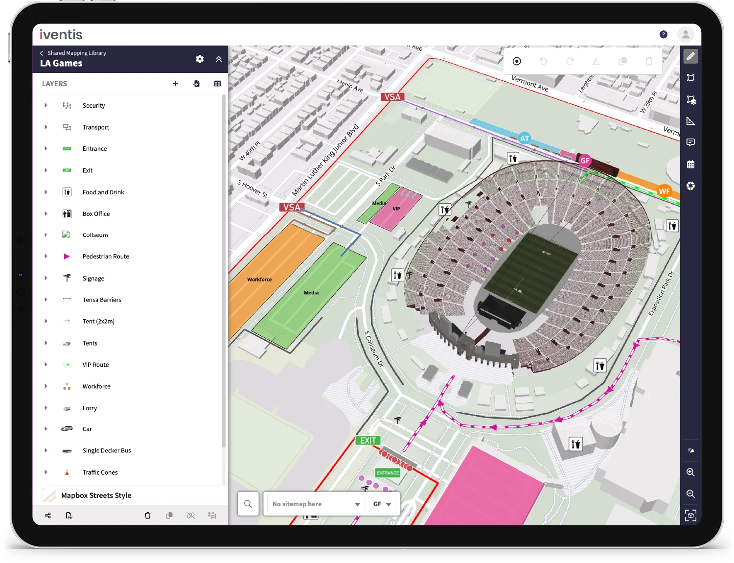
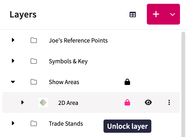
Layers and groups of layers can be locked in the side panel. When locked, objects on the map belonging to those layers can’t be edited. This helps in plans with overlapping objects such as zones with icons on top to prevent accidental edits and make editing easier.
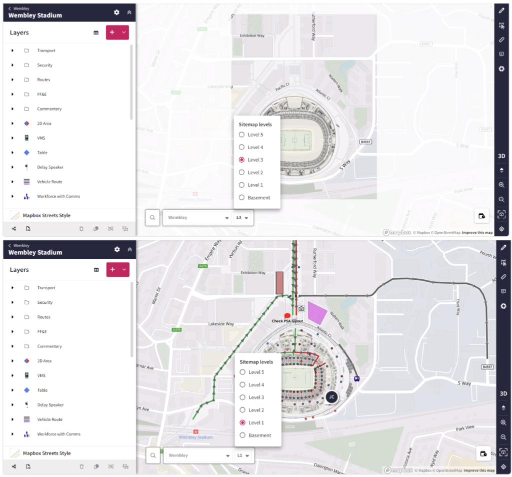 Map objects are now attached to specific sitemap levels, and each level above ground features a frame that prevents users from drawing outside of these boundaries. This is so that users do not get confused between levels and draw on the wrong level, helping to reduce errors.
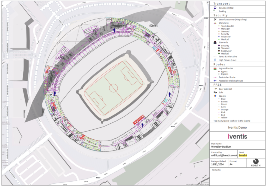 The legend of your PDF exports will now show which level is being displayed in the image. This helps differentiate the levels and add clarity for users working on large plans with multiple levels.
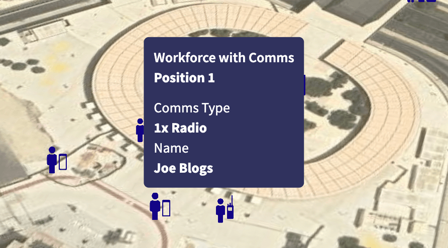
When hovering over a map object, you can now choose which attributes to display. This helps provide useful information at a glance. This can be set via layer settings.
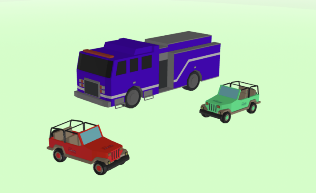 Users can now add custom colours to supported 3D models, as well as uploading their own models to support this feature. With the aid of data-driven styling, models can now be colour-coded according to the attributes on the map object.
Find out more in our Knowledge Base.
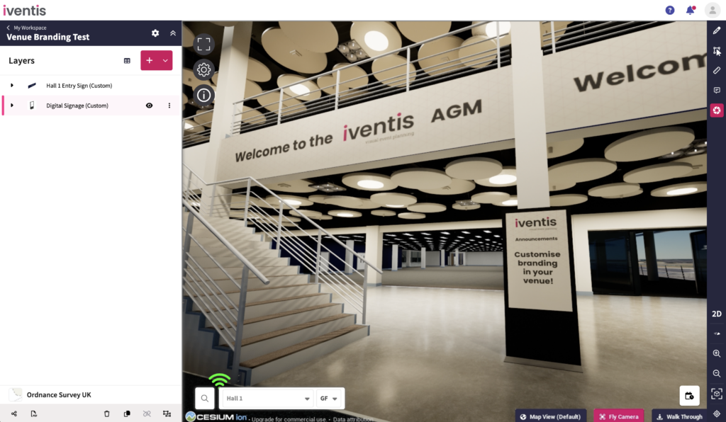 Users can now add or customise images on supported 3D models, as well as uploading their own models to support this feature. This is ideal for showing how a branded venue might look to potential sponsors. Use Iventis’ digital real estate to showcase the best possible side of your brand on banners, vehicles or any supported models.
Find out more on our Knowledge Base.
When using a 3D line layer, the quantity of 3D models being added is now automatically displayed as an attribute. Where this previously had to be added manually, this change helps users save time and reduces errors when calculating quantities.
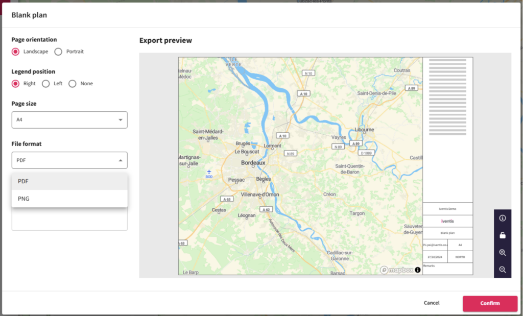
All users can now export maps as PNG or PDF files, even if they only have read-only permissions.
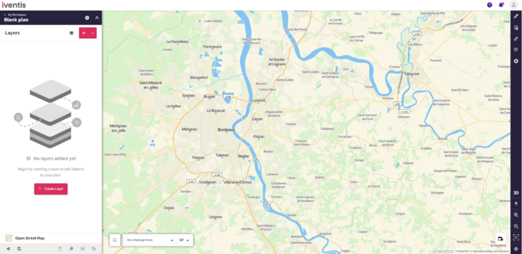
Updated designs have reduced the number of buttons in the sidebar, making it easier to find and use the ‘Create layer’ button.
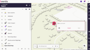
An improvement to our commenting feature now allows users to add images as comments. The images can be up to 15MB and will show in the tab for all comments. Additionally, the images can be viewed in isolation or full screen.
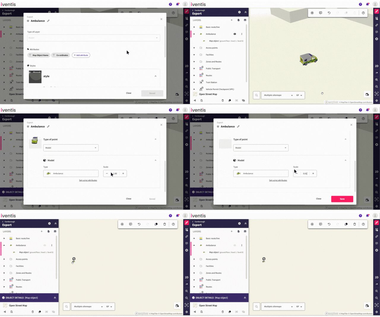
The minimum value for model and line model scaling has been extended to 0.01 (previously 0.1). This means that larger or medium-sized models will be able to scale down by up to 10x more.
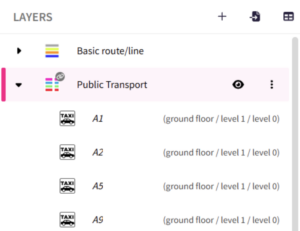
Every map object is now ordered alphabetically within its layer category, instead of chronologically. As new objects are created or renamed, they will automatically be ordered accordingly.
“We were happy to team up with such a renowned company as Iventis which significantly supported our team in their planning and delivery. The system was used across several functional areas to develop plans and co-ordinate our efforts in the run up to the event.”

“The Iventis mapping software has been instrumental with plotting, measuring and storing the relay route on a secure platform. It allows relay planners to use the mapping software as a development tool, creating and amending the routes. Additionally, it allows for multiple user groups, with various access rights, to view or edit plans and see real-time route amendments. Plans can be shared via a link or exported in KML and PDFs files.”