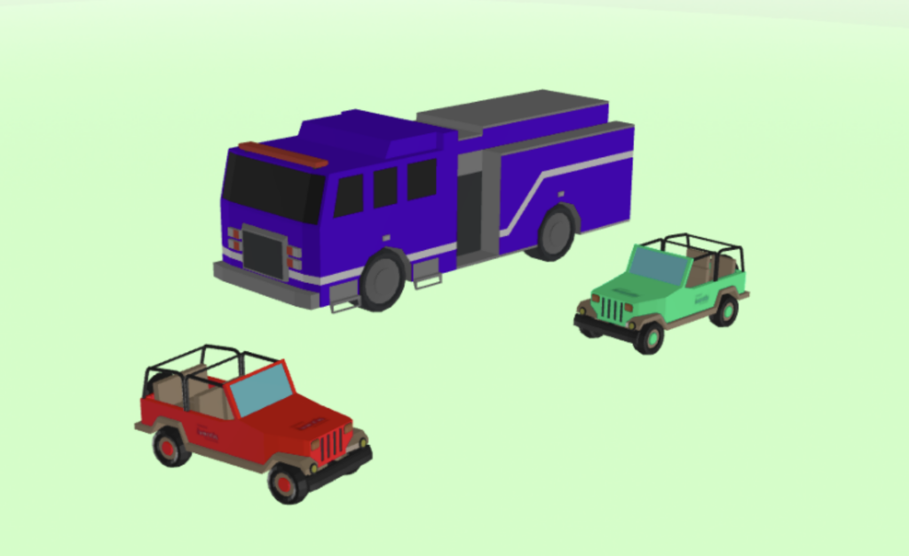
 Users can now add custom colours to supported 3D models, as well as uploading their own models to support this feature. With the aid of data-driven styling, models can now be colour-coded according to the attributes on the map object.
Find out more in our Knowledge Base.
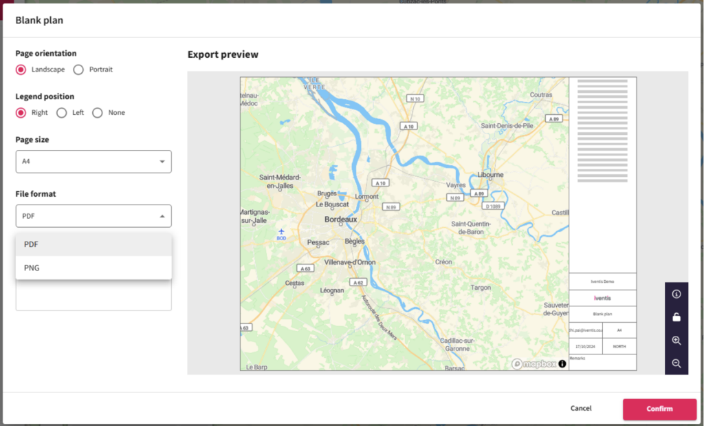
All users can now export maps as PNG or PDF files, even if they only have read-only permissions.
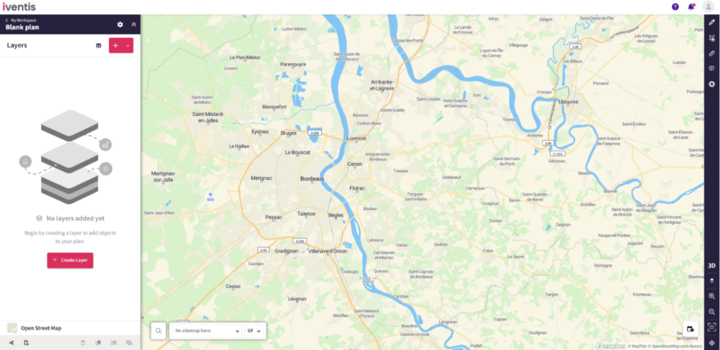
Updated designs have reduced the number of buttons in the sidebar, making it easier to find and use the ‘Create layer’ button.
“The Iventis mapping software has been instrumental with plotting, measuring and storing the relay route on a secure platform. It allows relay planners to use the mapping software as a development tool, creating and amending the routes. Additionally, it allows for multiple user groups, with various access rights, to view or edit plans and see real-time route amendments. Plans can be shared via a link or exported in KML and PDFs files.”

“We were happy to team up with such a renowned company as Iventis which significantly supported our team in their planning and delivery. The system was used across several functional areas to develop plans and co-ordinate our efforts in the run up to the event.”