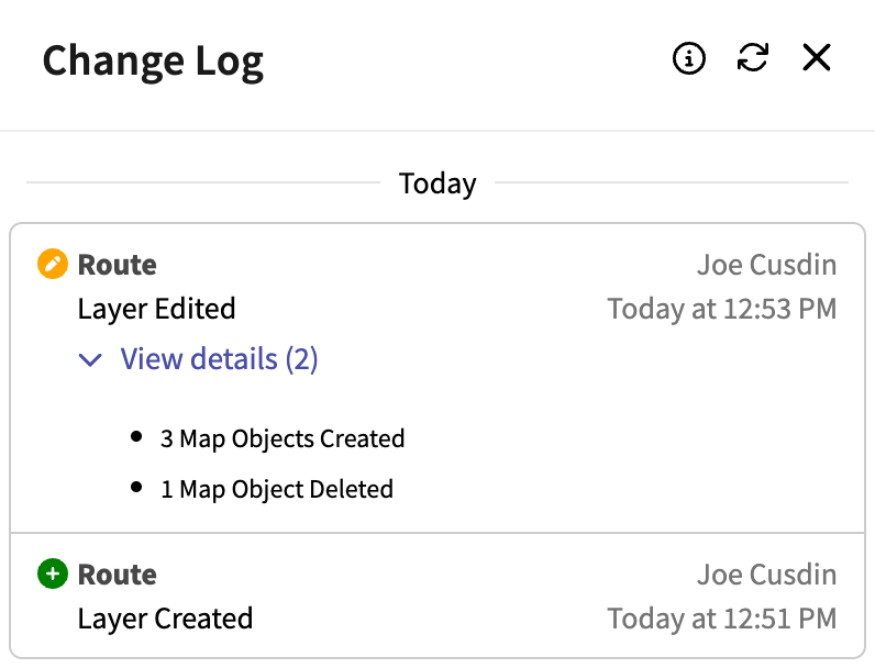
You can now see a full list of changes made within a plan – including where layers and objects have been created, edited or deleted. This is accessible from the top of the layers panel.

Individual or multiple layers can now be exported to KML format (primarily used by Google products). This is available on Premium and Enterprise plans.
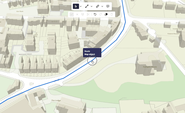
It is now possible to rotate icons individually, as well as setting the overall rotation in the layer settings. Set the icon alignment to “North Aligned” to keep them a fixed orientation regardless of how the map itself is rotated.
Areas can now be filled with set numbers of 3D models, which can be used to visualise crowd densities or generate other models such as trees. The new layer type can be customised with random or uniform patterns, rotations and quantities.
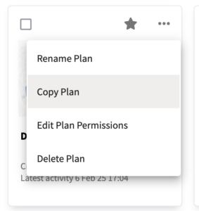
Users can now make copies of a plan, multiple plans or entire folders. This is helpful when using plans as templates, creating new versions or copying an event plan for a future edition.
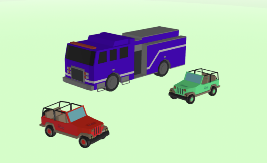 Users can now add custom colours to supported 3D models, as well as uploading their own models to support this feature. With the aid of data-driven styling, models can now be colour-coded according to the attributes on the map object.
Find out more in our Knowledge Base.
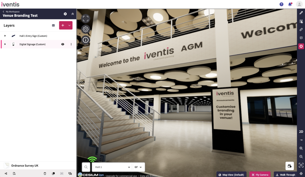 Users can now add or customise images on supported 3D models, as well as uploading their own models to support this feature. This is ideal for showing how a branded venue might look to potential sponsors. Use Iventis’ digital real estate to showcase the best possible side of your brand on banners, vehicles or any supported models.
Find out more on our Knowledge Base.
When using a 3D line layer, the quantity of 3D models being added is now automatically displayed as an attribute. Where this previously had to be added manually, this change helps users save time and reduces errors when calculating quantities.
Updated designs have reduced the number of buttons in the sidebar, making it easier to find and use the ‘Create layer’ button.
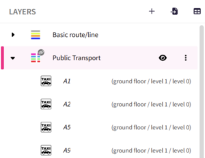
Every map object is now ordered alphabetically within its layer category, instead of chronologically. As new objects are created or renamed, they will automatically be ordered accordingly.

Mobile and tablet users will now find they can navigate to their current location on a map. This feature is also available on desktop devices with location permissions enabled.
“Birmingham 2022 is the largest event to be held in the UK since London 2012. That means it is an incredibly complex operation for us to manage. Iventis allows us to knit all of those requirements together in a single platform. It’s absolutely fantastic and so useful across the supply chain for everybody to have access across all of the different venues and fantastic from an efficiency and commercial value perspective”

“We were happy to team up with such a renowned company as Iventis which significantly supported our team in their planning and delivery. The system was used across several functional areas to develop plans and co-ordinate our efforts in the run up to the event.”