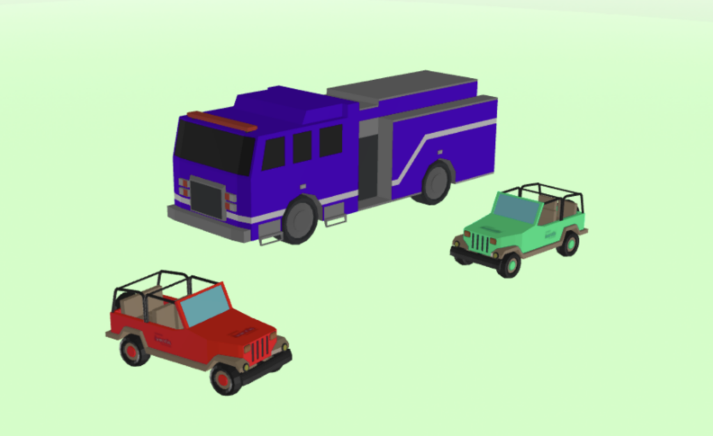
 Users can now add custom colours to supported 3D models, as well as uploading their own models to support this feature. With the aid of data-driven styling, models can now be colour-coded according to the attributes on the map object.
Find out more in our Knowledge Base.
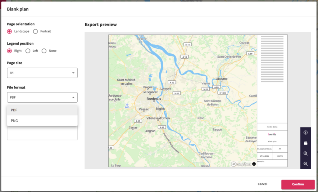
All users can now export maps as PNG or PDF files, even if they only have read-only permissions.
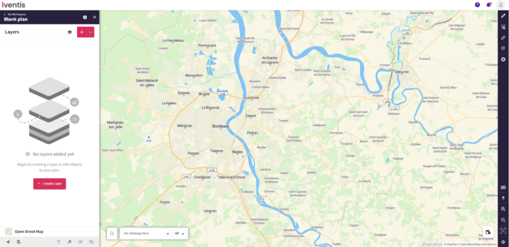
Updated designs have reduced the number of buttons in the sidebar, making it easier to find and use the ‘Create layer’ button.
“We were happy to team up with such a renowned company as Iventis which significantly supported our team in their planning and delivery. The system was used across several functional areas to develop plans and co-ordinate our efforts in the run up to the event.”

“Birmingham 2022 is the largest event to be held in the UK since London 2012. That means it is an incredibly complex operation for us to manage. Iventis allows us to knit all of those requirements together in a single platform. It’s absolutely fantastic and so useful across the supply chain for everybody to have access across all of the different venues and fantastic from an efficiency and commercial value perspective”